From Nepali Times, ISSUE #874 (1 September 2017 -7 September 2017)
With embankments on three sides Rautahat was ripe for disaster
More than 70% of Rautahat was submerged in the flood of 12-15 August. The levees built a quarter century ago to protect this border district from the Bagmati to the east and the Lalbakaiya to the west collapsed in places, letting flood waters into the villages and farmlands.

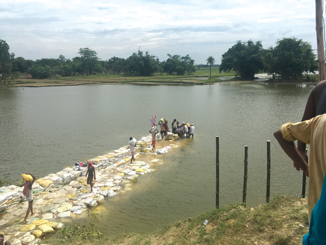
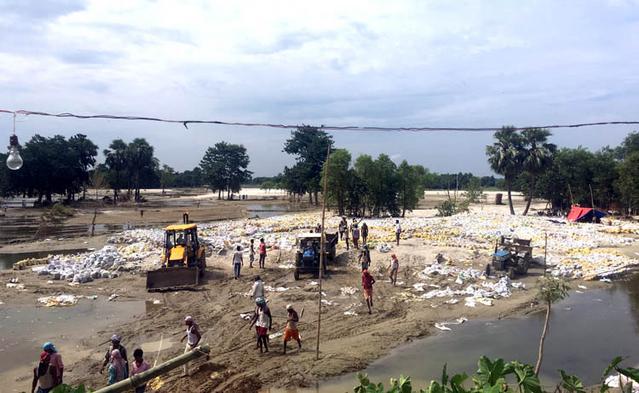
DANGEROUS DIKE: Labourers rebuilding a border embankment in India that was breached by the flood on 15 August, saving the town of Gaur from being completely submerged.
This water had no outlet because right across the southern border in India, immediately adjacent to the no-man’s-land (dasgaja) was a 10m-high embankment, which acted as a dam. The water level rose rapidly, entering homes as families climbed stairs for safety, salvaging whatever they could. Fortunately for this district of 800,000 people, the southern embankment breached at its eastern end in the early evening of 13 August, otherwise the result would have been even more catastrophic.

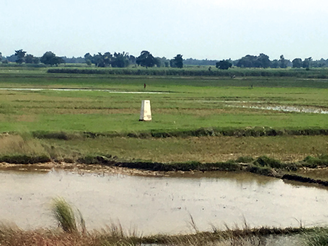
Locals say that there was a time when the land spread flat on both sides of the border, including the dasgaja stretch. The southern embankment started to come up no more than 30m from no-man’s-land – and over the last decades additions were made to its height metre by metre. The Nepali state and civil society just watched.
From the start, this embankment has looked like a project to protect Gaur’s sister city on the Indian side, Bairgania in Bihar state, no matter what it did to upstream settlements and farmlands in Nepal. The soil needed to build the dike was dug out of the land along its northern base, which meant that a gully was created, further endangering the Nepal side. For decades, Nepal has lacked the political will to monitor and control the expanding width and height of this levee.

With embankments on three sides, Rautahat was ripe for disaster. When the Bagmati and Lalbakaiya embankments breached three weeks ago, with the dasgaja embankment acting as a dam, the southern half of the district was converted into a large lake. This embankment has no sluice gates, and the 1m hume pipes located every half km were not enough to drain the water. In addition, the gates for each of these outlets were controlled by the Indian authorities.
The question is why the Nepali side has been silent for years on end as the southern embankment gained height, and why it seems to be quiet even after the tragedy of August 2017.
By 15 August, Rautahat was inundated, and the waters were still rising. Families were perched on rooftops, and it looked like thousands would drown. Fortunately, the Bihar-side embankment breached towards the east at around 5pm due to water pressure, and the water began to recede at once. Even though livestock, foodgrain stocks, retail and wholesale items in shops and storage, and family valuables on the ground floor (including documents) were lost, human lives were saved.